Urbaneel • Cyprus transport app
May 2025 - December 2025
Designed and launched app to help tourists, migrants and locals navigate buses easily.
>1,5k MAU
across iOS and Android platforms
250 DAU
within a half of the year of launch
>1,5k times a day
people check the actuality of the information in the app
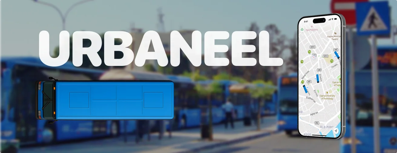
As a foreigner after moving to Cyprus I've discovered the issues with using the public transport. The application that shows online location of the buses, timetable and allows to plan the complex routes is absent. And the appearance of bus depends on ancient prophecy at least.
That's how I've ended up with idea to use my experience using Yandex Transport and similar products to create something useful for people here.
I performed several interviews to identify key pain points experienced by public transport users in Cyprus and evaluate existing transport-related apps. I interviewed professionals who recently moved to Cyprus and needed to use public transport regardless of their prior lifestyle or income.
Inaccurate or Missing Real-Time Information
It was mentioned by all responders. Sometimes bus don’t show up at all, or it can be 20 min late. There are no notifications when a bus is delayed, no source of any information.
Unintuitive Interfaces / Missing Visuals
No visual route maps or live icons. No indication of which bus goes where. Users don’t know which direction a bus will go or whether a stop is even active.
Missing Features in Apps
There’s no functionality like “stops near me,” no payment integration, and the ride cost is unclear—plus it's cash-only. No location tracker or visibility of amount of stops before yours.
Poor Route Planning and Navigation Tools
No app allows users to search from point A to point B. You must already know which bus to take before checking the app, users typically remember the buses they see in the city and then try to find them in apps.
A fellow developer and I connected over this idea and discovered a free source of bus data that we can use, including routes, timetables, and real-time bus locations.
And at first I've chosen to visualize the current data better way.
Current app
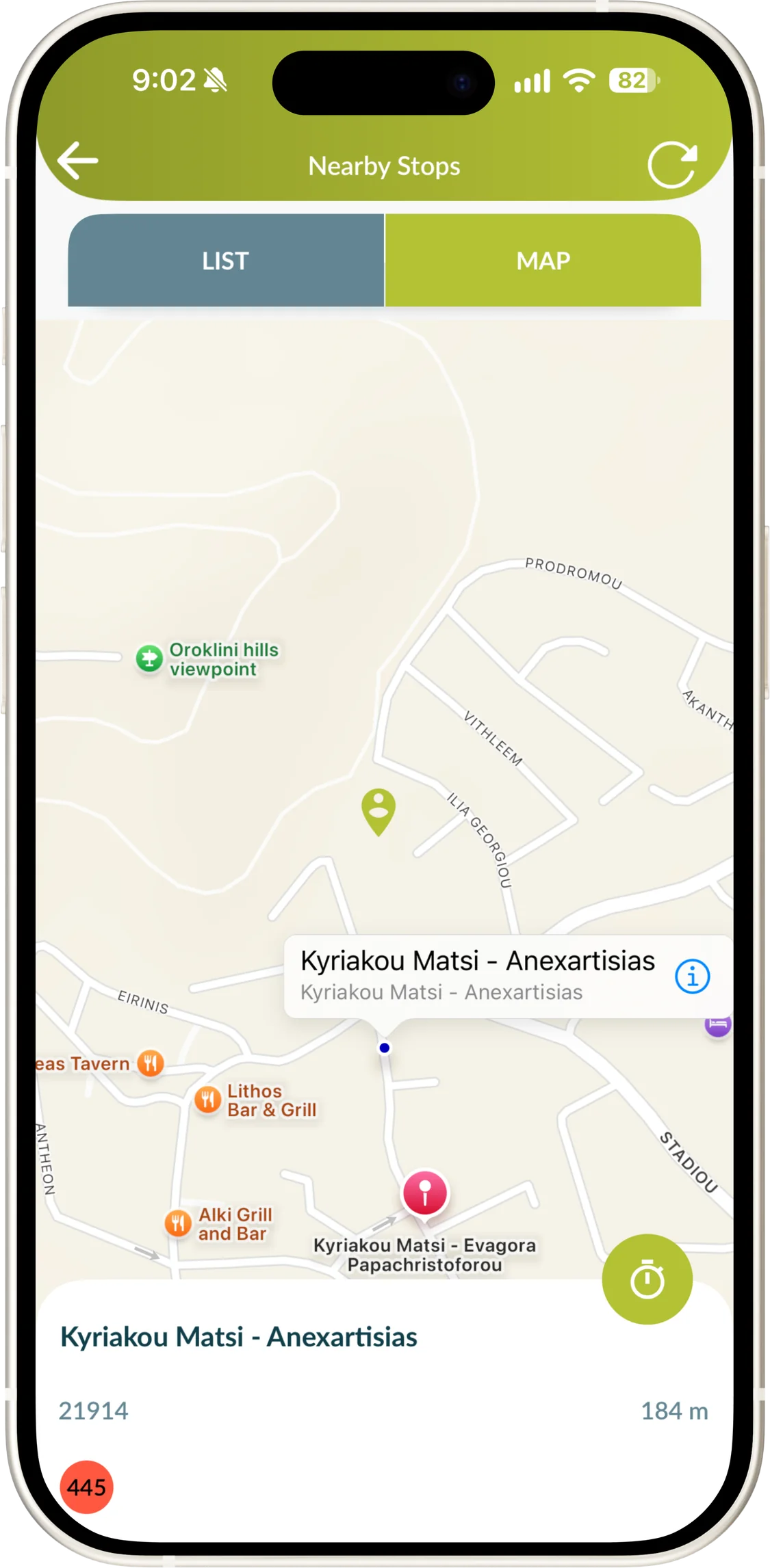
Urbaneel
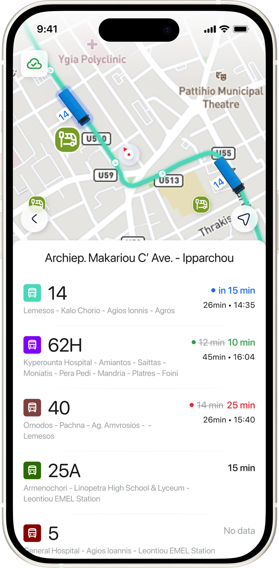
I just want to know the bus is coming — and that it’s the right one.
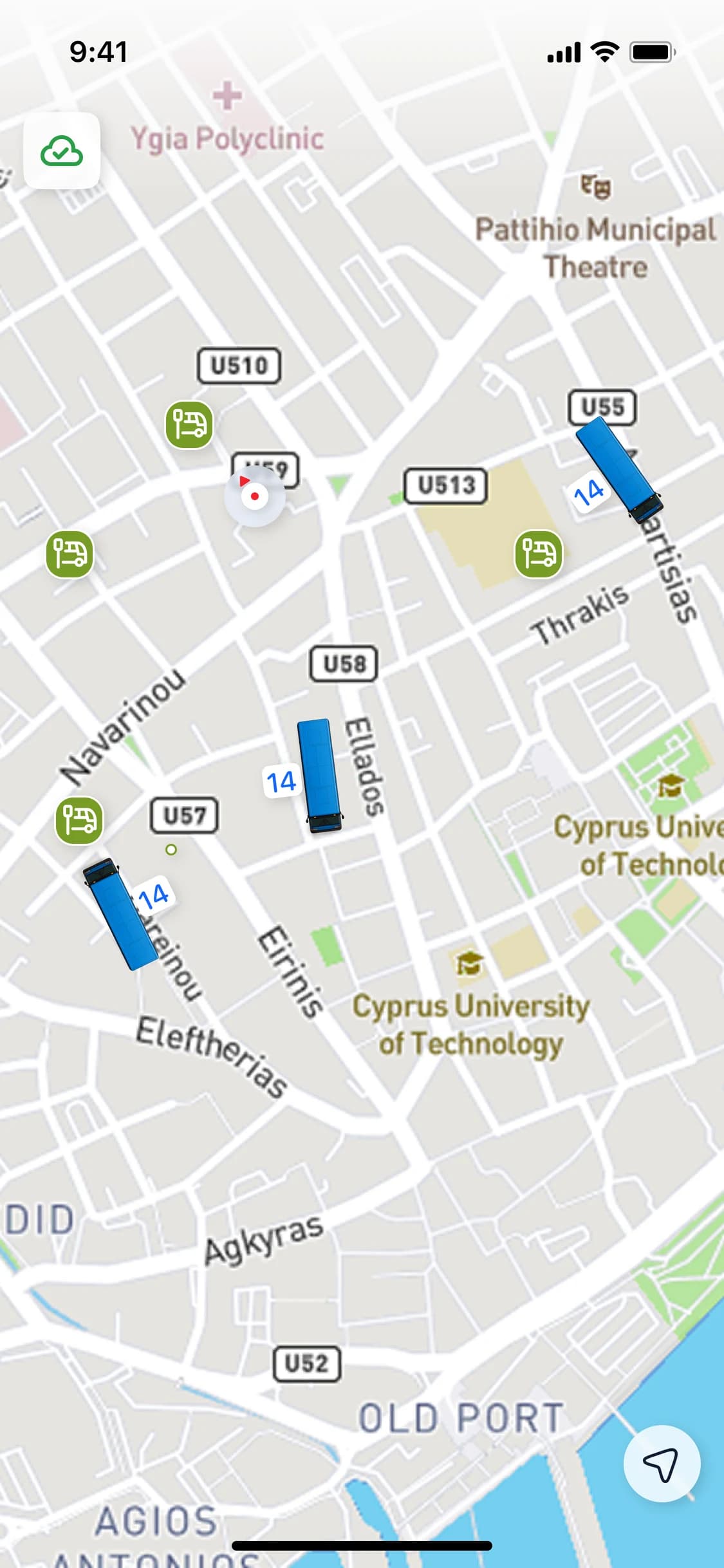
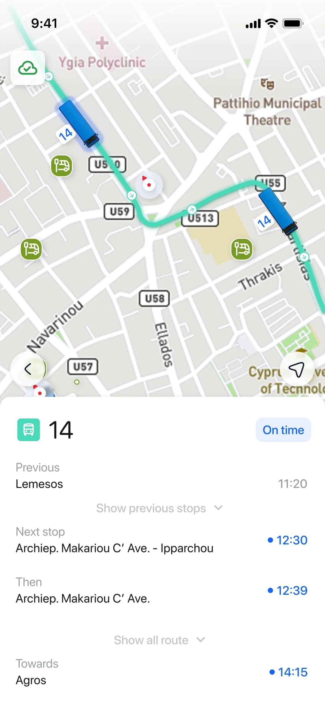
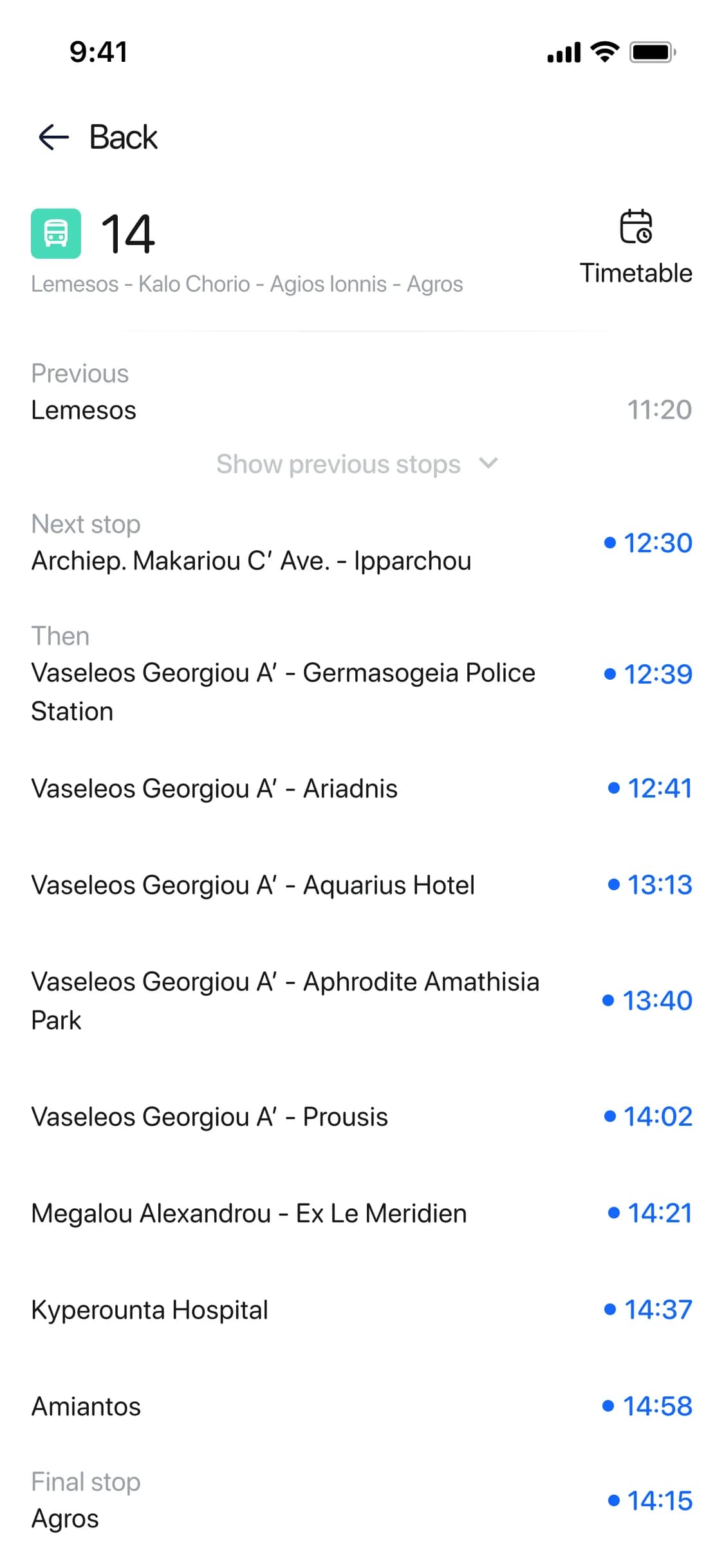
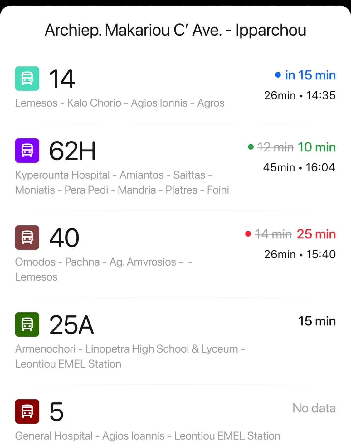
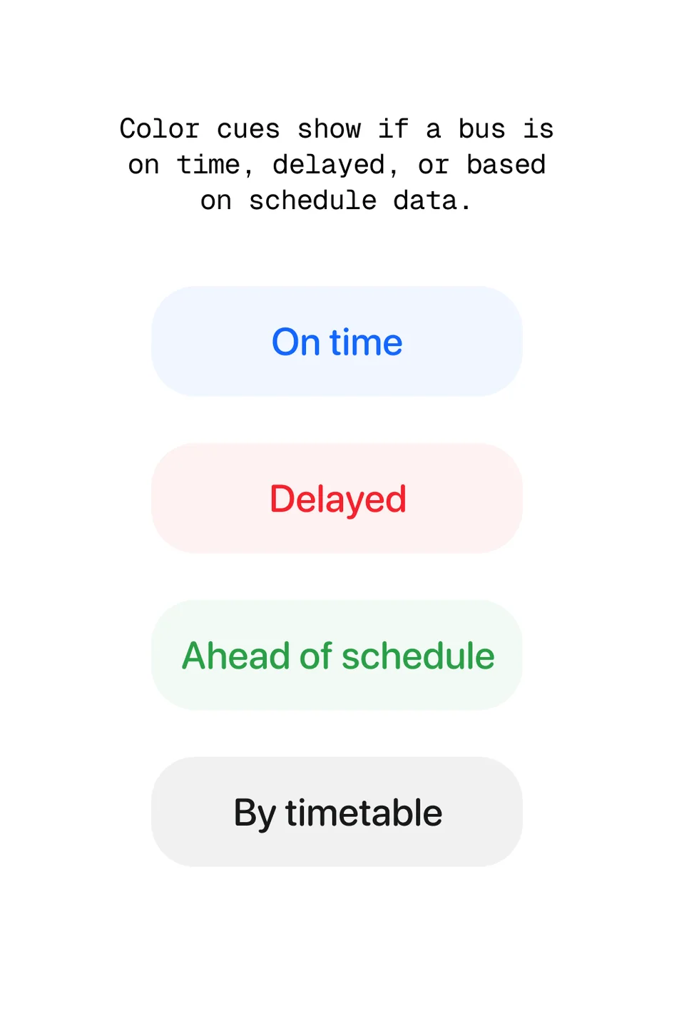
I've visualized the timetable information as nearest and 2 next time of arrival for each bus. Also added color scheme to show buses that are coming on time, late or expected earlier.
Server synchronization
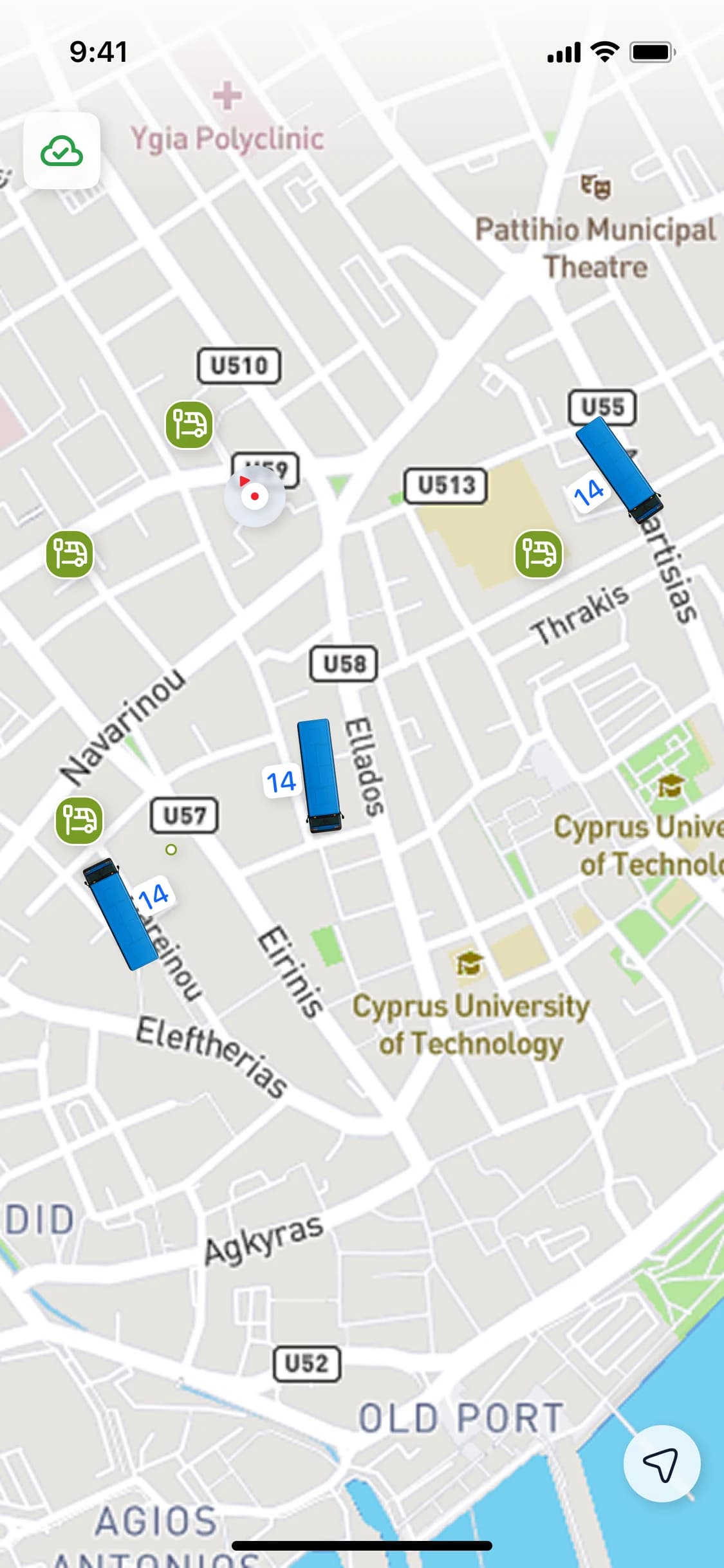
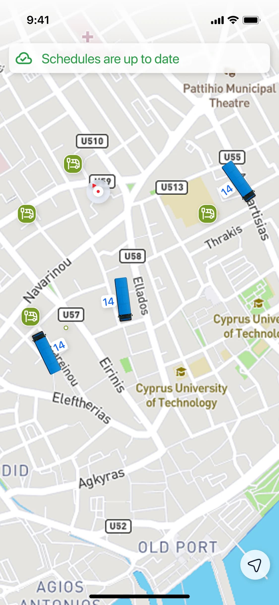
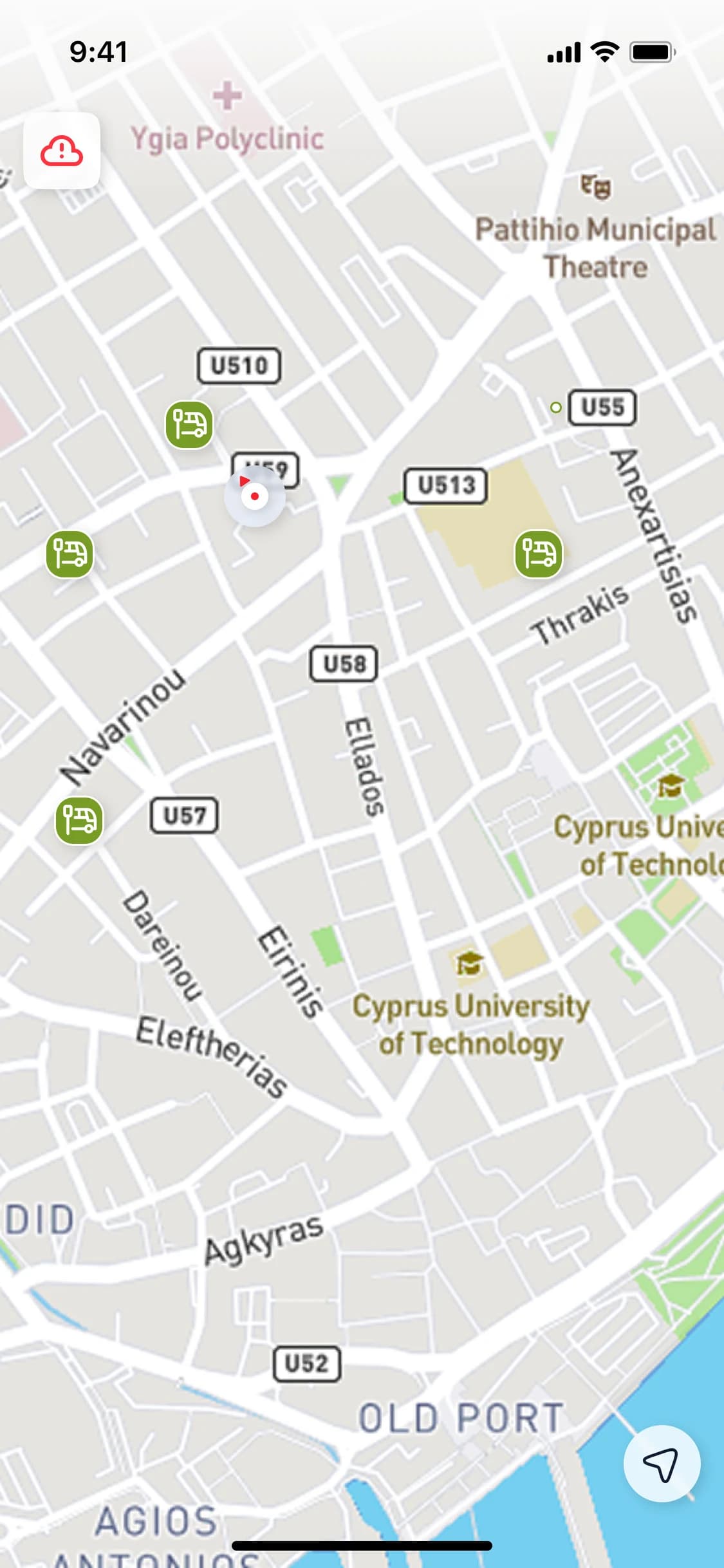
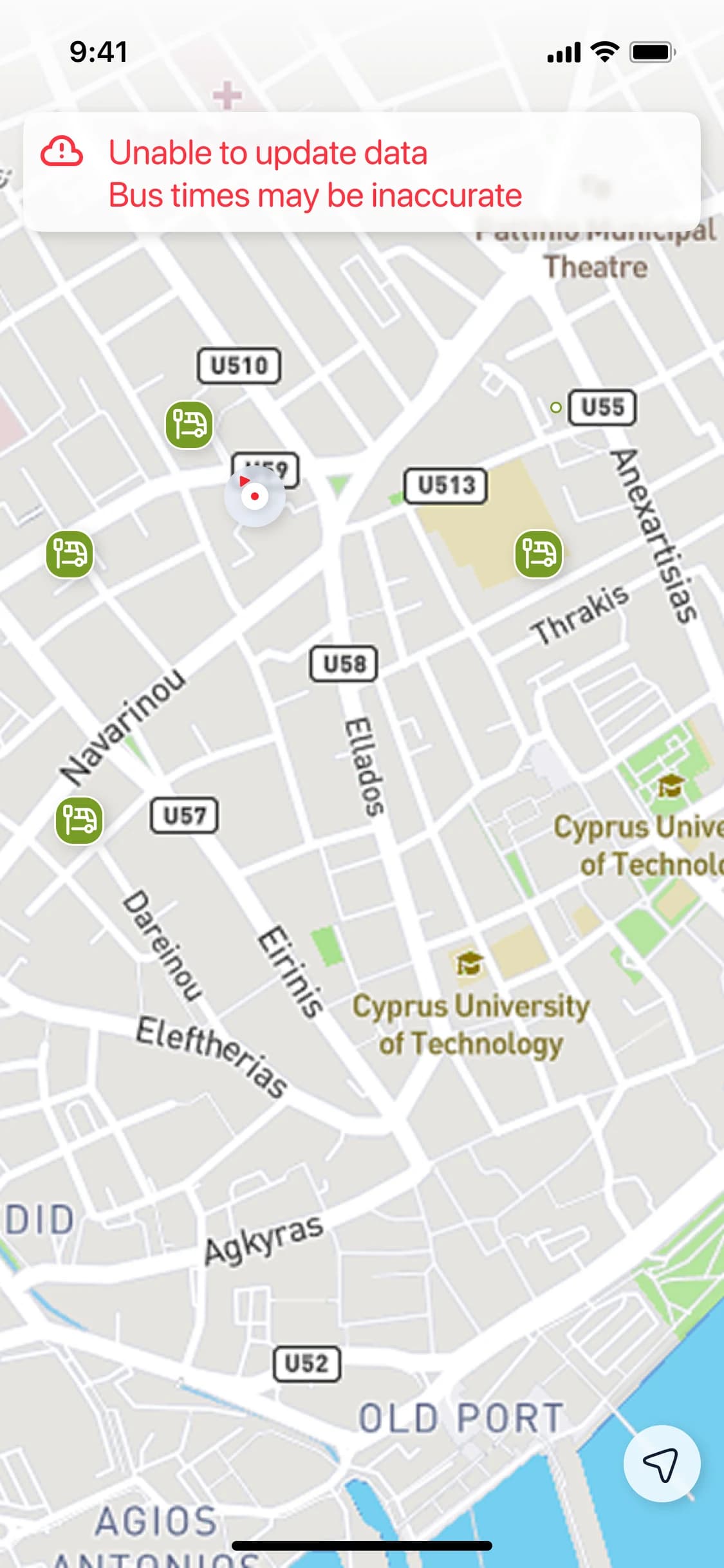
One of the first features I’ve added was a status of actuality of server data. Now, users can easily see whether the data is online or we’re showing some planned schedule.
Route direction and stop locations are also more informative with the integration of “My Location” data.
Future plans
There’s idea to develop application as a social helper for people who don’t wont the personal auto or choose not to drive everywhere. After adding the ability to create complex routes from point A to B the idea is to integrate it with local carsharing provider, bikes, scooters, etc. Also it seemed valuable for me to add information about on-duty pharmacies, cultural events, and other things like that so people can be mobile and discover island.
I left the project on this stage, but if you live on Cyprus or visit it as a tourist, please, welcome to download the application that continue to grow and help people.